Visual 3.0 helps pinpoint best time to harvest
Deciding the right time to harvest remains a challenge for many producers, no matter how they collect and organise their field data.
Determining the optimal moment has long been a subjective process, in which one or more people need to draw on their own experience and data from lab tests, weather forecasts and previous seasons.
But thanks to technology from Spanish company Visualnacert, growers can now leave the guesswork behind and instead use an objective system that analyses, classifies and searches for patterns in large amounts of data.
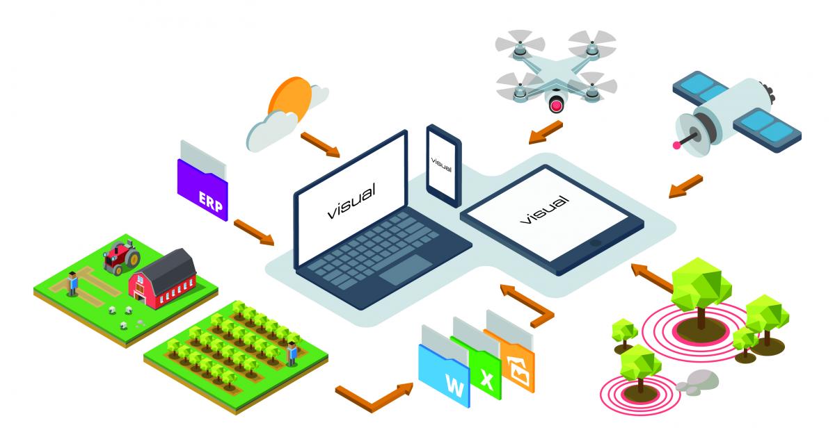
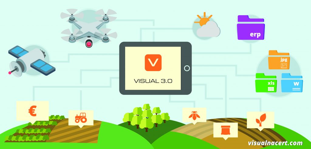
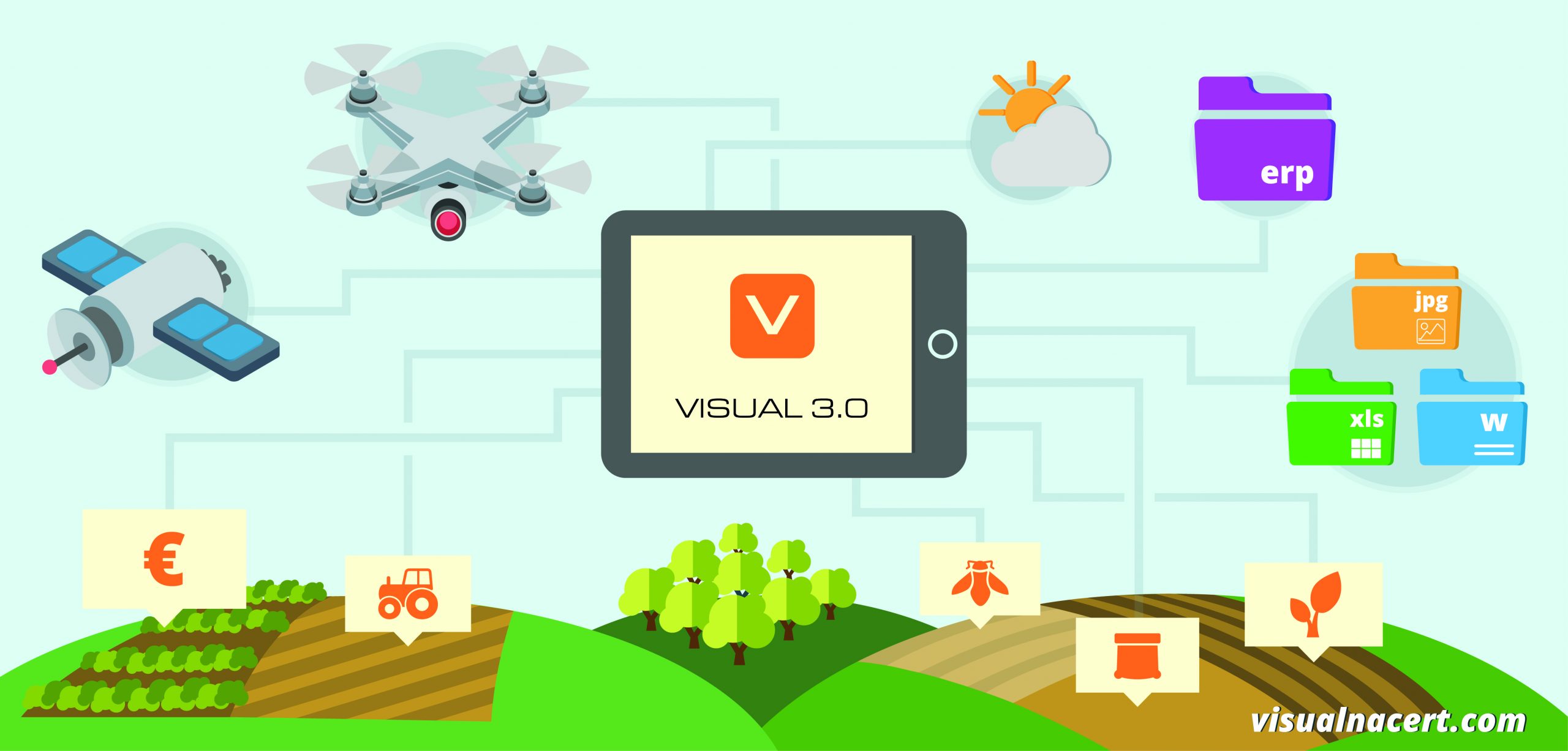
In a press release, Visualnacert said its Visual 3.0 is the first platform developed with geolocation technology, connection and analysis of ‘big data’. It allows for planning, forecasting and monitoring the progress of harvesting while promoting food security, quality and productivity.
Growers can consult harvest maps based on data including that of microclimatic conditions, plantation age, productivity, markers of quality and maturity, residue analysis and crop forecasting.
The resulting benefits go well beyond the expected decrease in the cost of harvest to include an improvement in product quality and better work organisation, paving the way for ongoing success with produce sales and improved profitability thanks to decision-making based on concrete information.
The geolocation technology and intelligent data analysis allow users to achieve more with less – needing less resources, avoiding mistakes and cutting costs.
The Visual 3.0 software can be used on any device (e.g. PC, tablet, smartphone) and its data can be viewed in real time by different people.
For more information, visit http://visualnacert.com/en/


